By Basant El-Faramawy
Forecasters warn that the stratospheric polar vortex could weaken as early as November, potentially sending freezing Arctic air southward into the UK and Europe.
Early weakening predicted
NASA forecasts show wind circulation weakening rapidly, with wind speeds dropping to 12.04 m/s on October 31, 9.15 m/s on November 1, and 4.15 m/s on November 3. This is earlier than the previously expected January 2027 weakening.
Mechanism and impacts
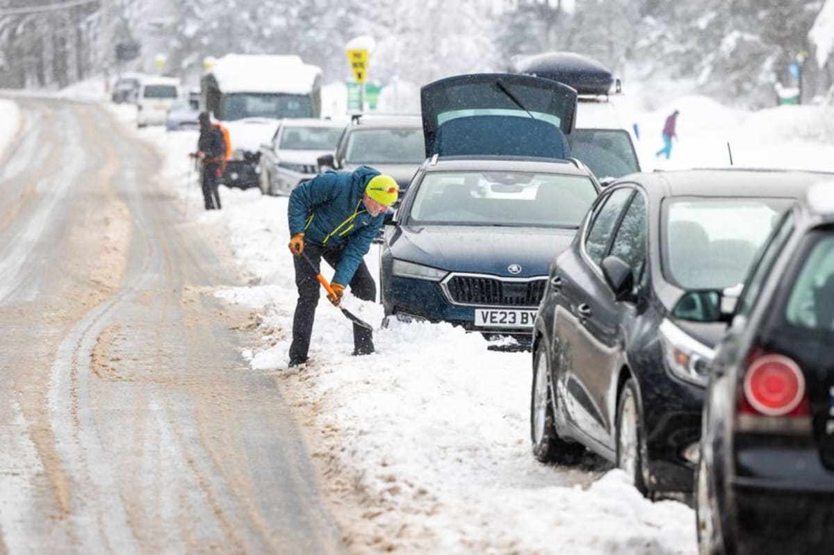
A sudden stratospheric warming can reverse vortex winds, causing the jet stream to meander and create blocking high pressure over the North Atlantic and Scandinavia. That pattern typically brings prolonged dry, cold weather to northern Europe, including the UK, while southern Europe sees milder, wetter conditions. Cold easterly winds on the boundary can lead to snow, as occurred in early 2018.
El Niño factor
The ongoing El Niño, already the strongest on record, is associated with increased risk of cold snaps in the UK, according to the Met Office. The phenomenon has contributed to the hottest summer on record and will continue to have far-reaching global weather implications.
Limited predictability
Forecasters can reliably predict individual sudden stratospheric warmings only about a week in advance. The warming usually takes a few weeks to influence UK weather, so exact timing and severity remain uncertain.